Log in
All resources
Create a design
Tools
4,032 Free Images of World Map
maps
vintage maps
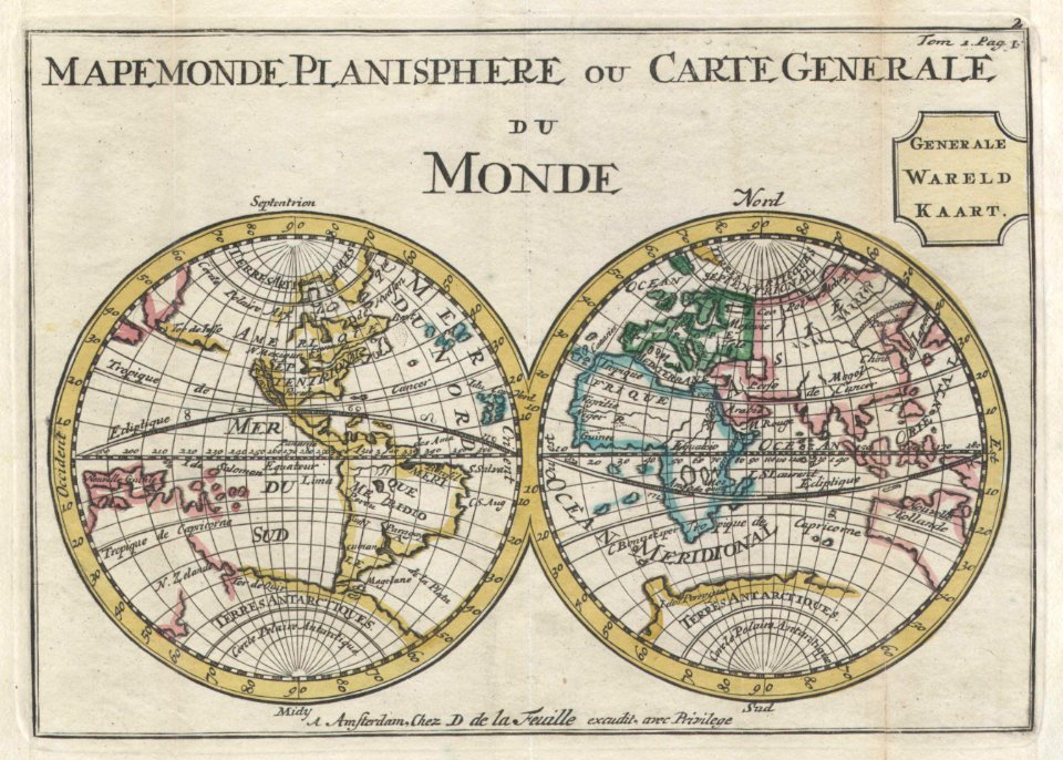
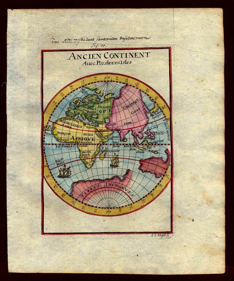
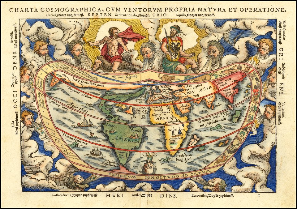
description de l'universe
earth
old map
vintage
globe
continent
poster
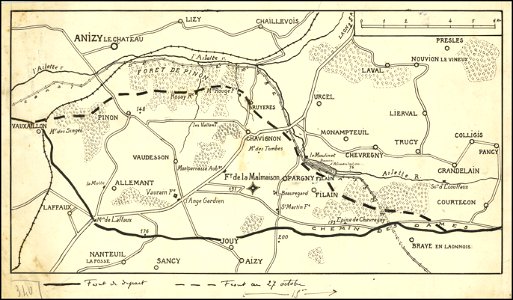
hand-drawn maps and views of world war i battlefields by h.m.
hand-drawn maps and views of world war i battlefields by h.m.
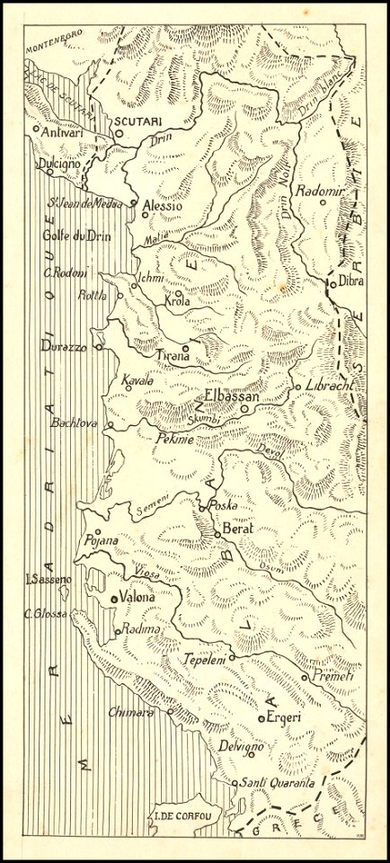
old maps of albania
description de l'universe
alain manesson-mallet
icons
maps
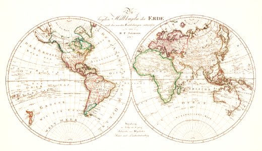
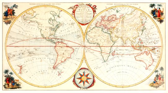
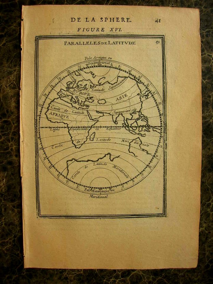
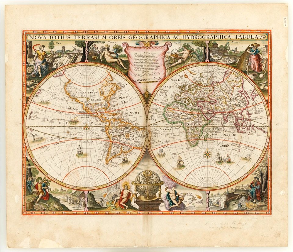
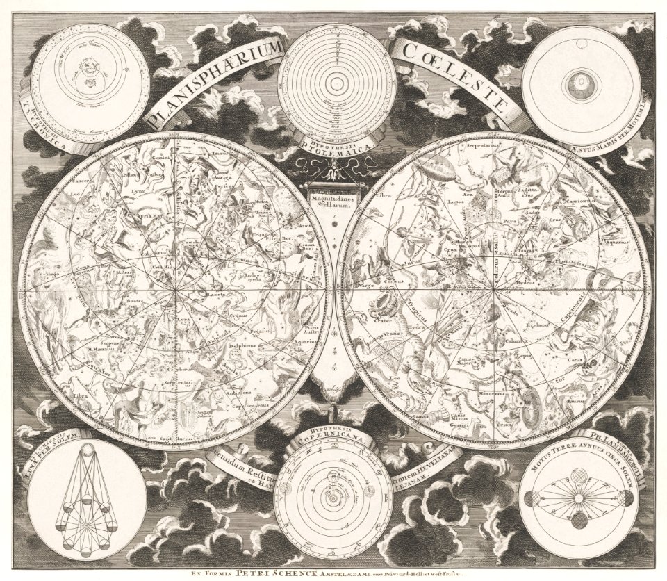
double hemisphere world maps
johannes van keulen
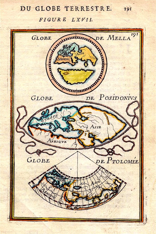
popular science monthly illustrations/volume 16
mercator 1569 world map
vintage
maps
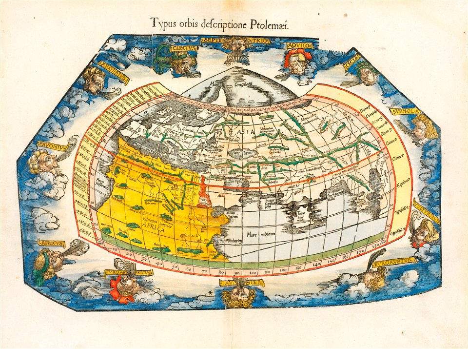
ptolemaic world maps
latin-language maps
popular science monthly illustrations/volume 16
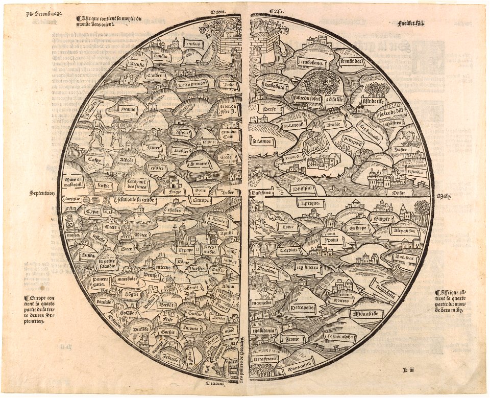
ancient greek maps of the world
egypt
maps
1550s maps of the world
petrus apianus
world
maps
maps
sea
travel
maps
popular science monthly illustrations/volume 16
10th-century maps of the world
landscape
maps
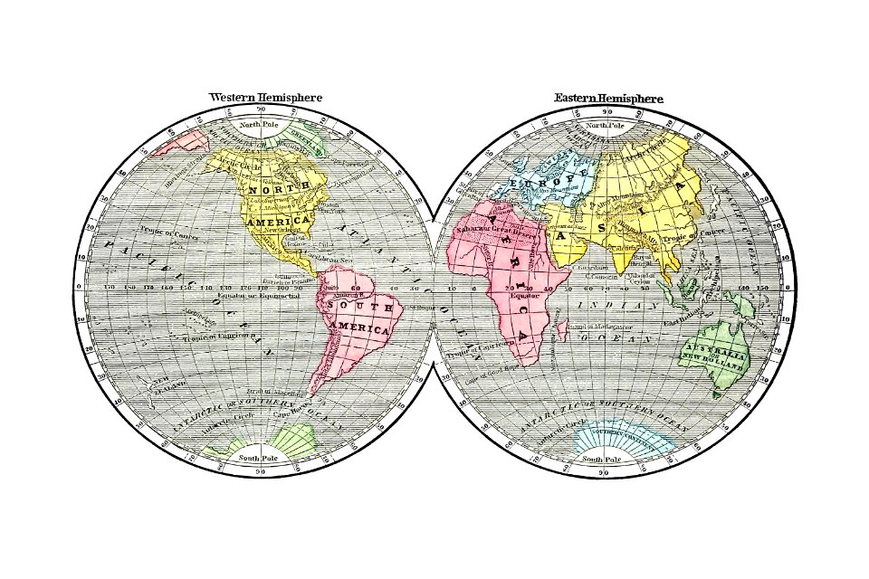
old maps of earth's hemispheres
double hemisphere world maps
symbol
maps
1510s maps of the world
coats of arms on maps
continent
maps
popular science monthly illustrations/volume 16
eratosthenes
africa
maps
australia
maps
globe
maps
illustration
maps
1500s maps of the world
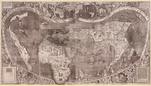
waldseemüller map
popular science monthly illustrations/volume 16
11th-century maps of the world
world
maps
continent
maps
geography
maps
vintage
maps
ukiyo-e by unknown artists
1800s maps of the world
hand-drawn maps and views of world war i battlefields by h.m.
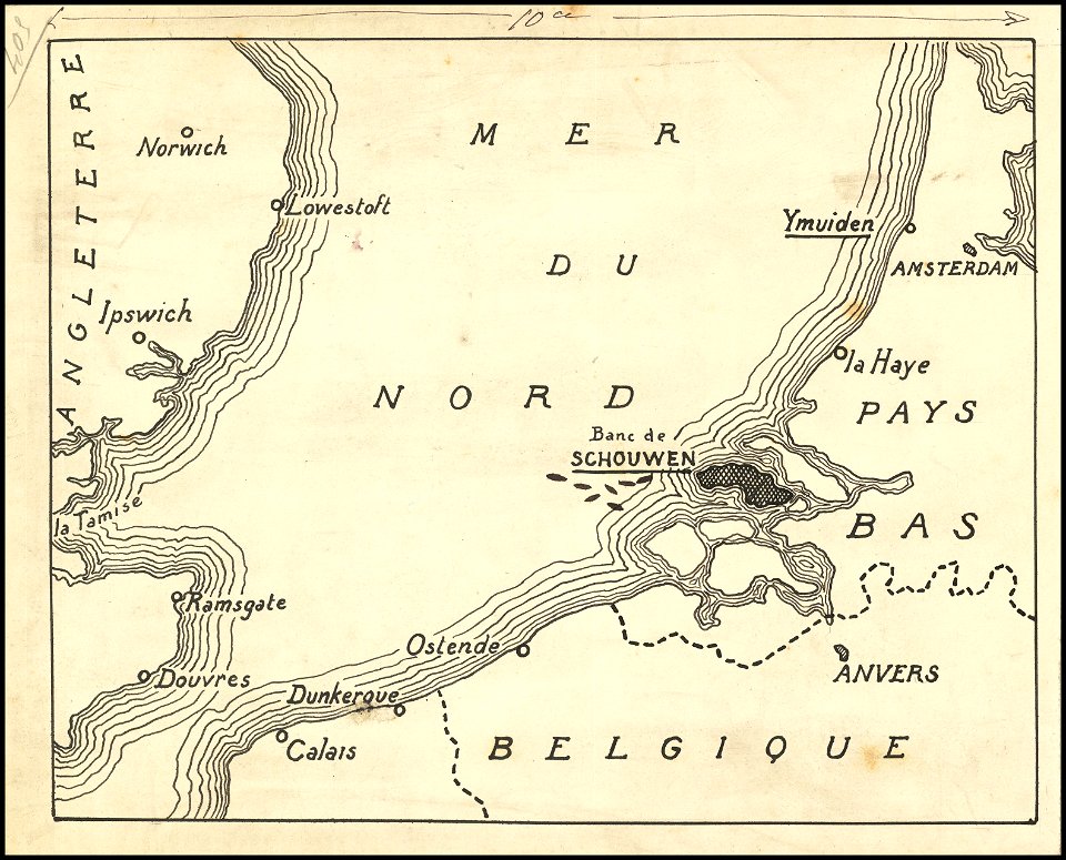
old maps of the english channel
world map
maps
ukiyo-e by unknown artists
1800s maps of the world
maps in the british museum
stabius world map
ms. ludwig xv 4 (getty museum) - bird book of hugo fouilloy
13th-century maps of the world
hand-drawn maps and views of world war i battlefields by h.m.
hand-drawn maps and views of world war i battlefields by h.m.
cornell: persuasive cartography: the pj mode collection
cornell university library
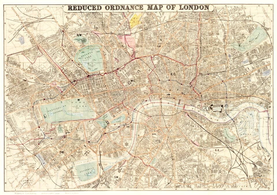
maps in the library of congress
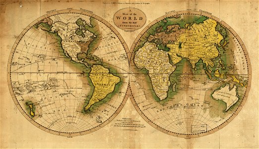
1795 maps
vintage
maps
australia
maps
maps in the library of congress
1795 maps
ptolemaic world maps
latin-language maps
travel
maps
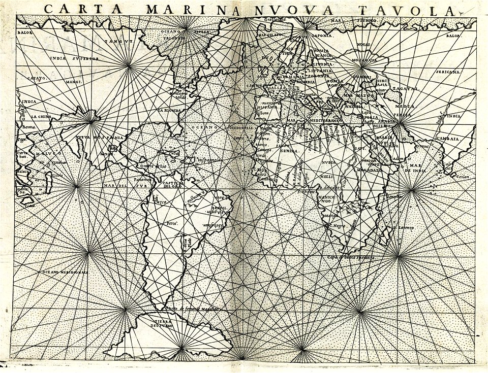
maps made in the 17th century
old maps of the world
world
maps
continent
maps
earth
maps
hand-drawn maps and views of world war i battlefields by h.m.
battle of hartmannswillerkopf
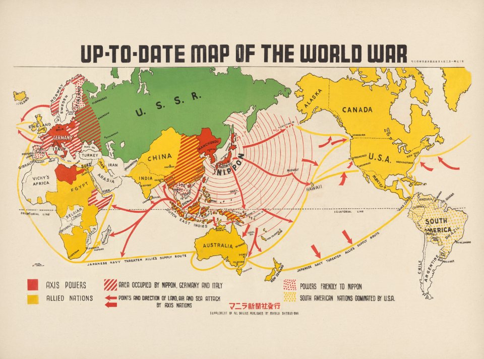
maps of world war ii in europe
maps of the mediterranean sea
earth
maps
earth
globe
cornell: persuasive cartography: the pj mode collection
cornell university library
mercator projection
sugar industry
background
maps
background
symbol
allegories of the four elements
islands of california
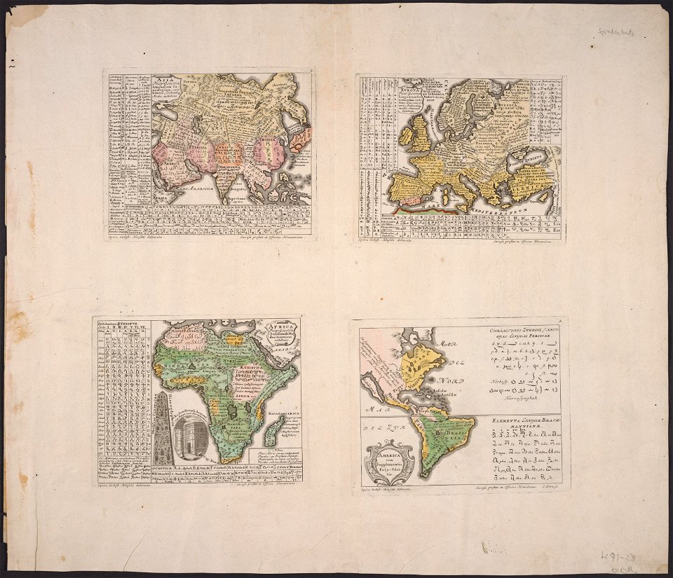
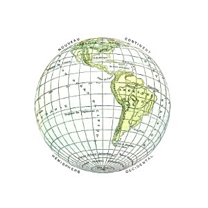
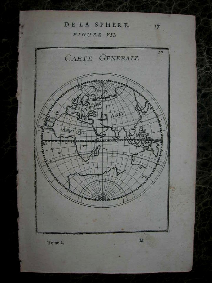
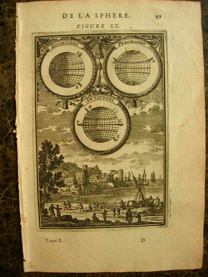
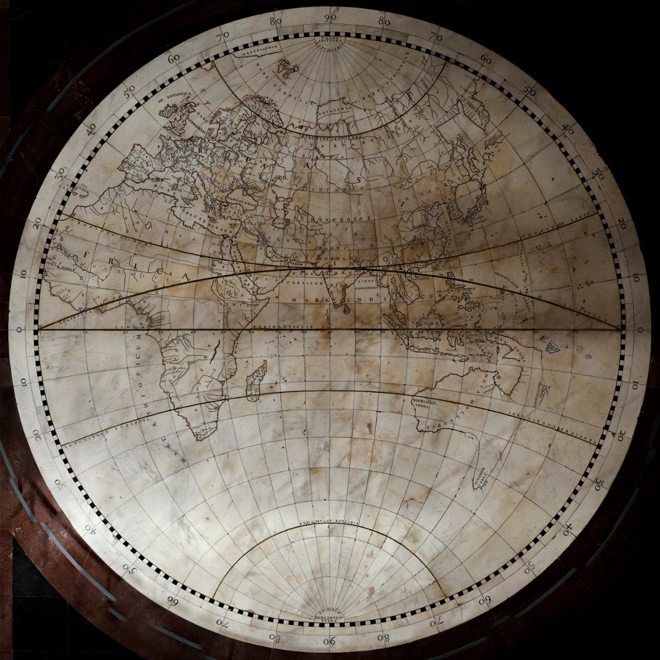
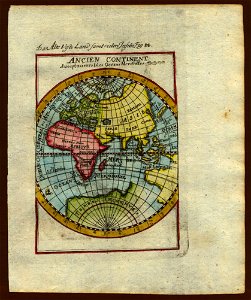
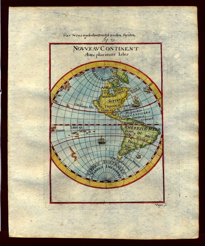
description de l'universe
1710s maps of the world
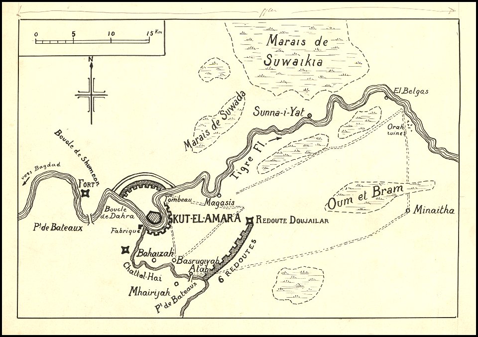
hand-drawn maps and views of world war i battlefields by h.m.
siege of kut
description de l'universe
1710s maps of the world
earth
maps
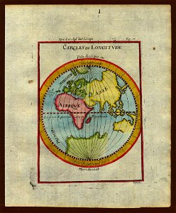
description de l'universe
1710s maps of the world
description de l'universe
1680s maps of the world
description de l'universe
1680s maps of the world
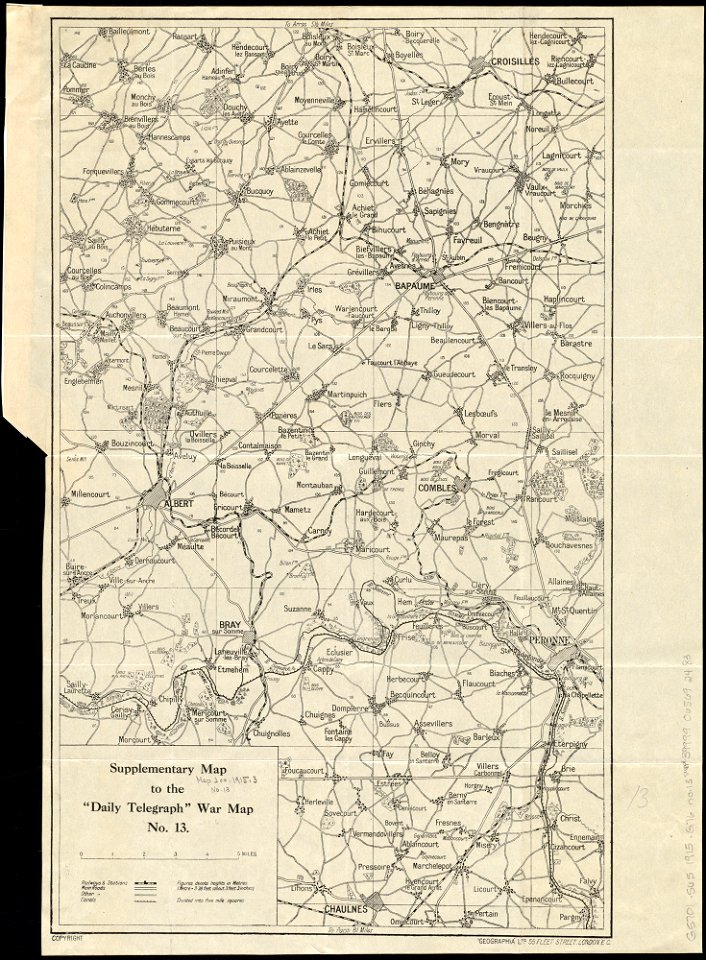
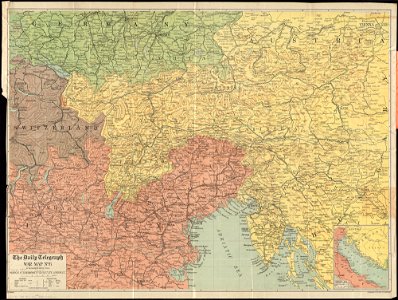
maps of world war i by the daily telegraph
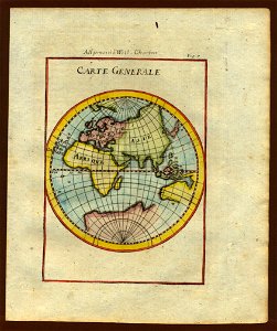
1740s maps of the world
burgerzaal map
maps by martin waldseemüller
1510s maps of the world
old maps of the atlantic ocean
maps of the north atlantic
earth
globe
allegories of the four elements
islands of california
1540s maps of the world
ptolemaic world maps
maps of world war i by the daily telegraph
1915 maps
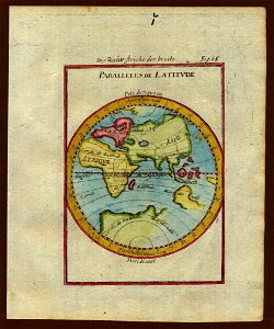
description de l'universe
1710s maps of the world
description de l'universe
1710s maps of the world
description de l'universe
old maps of the world
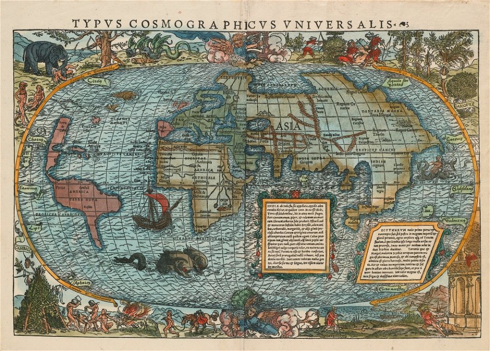
16th-century maps of the world
maps by sebastian münster
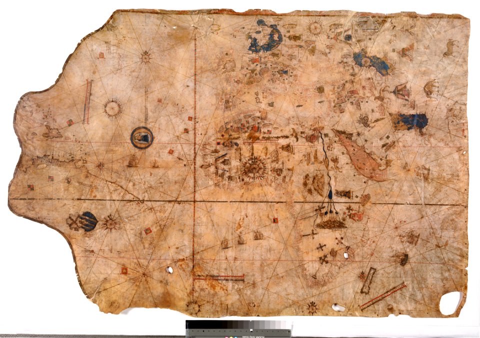
fra mauro map
double hemisphere world maps
old maps of the world
ocean
maps
description de l'universe
1680s maps of the world
description de l'universe
1710s maps of the world
description de l'universe
1680s maps of the world
ocean
maps
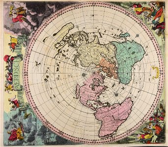
maps with stab-werner projection
petrus apianus
description de l'universe
1710s maps of the world
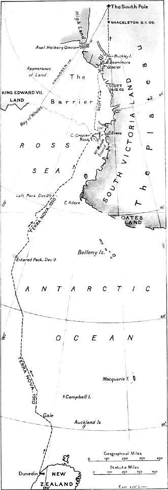
the worst journey in the world (1922
south pole
hand-drawn maps and views of world war i battlefields by h.m.
charts and maps of the royal museums greenwich
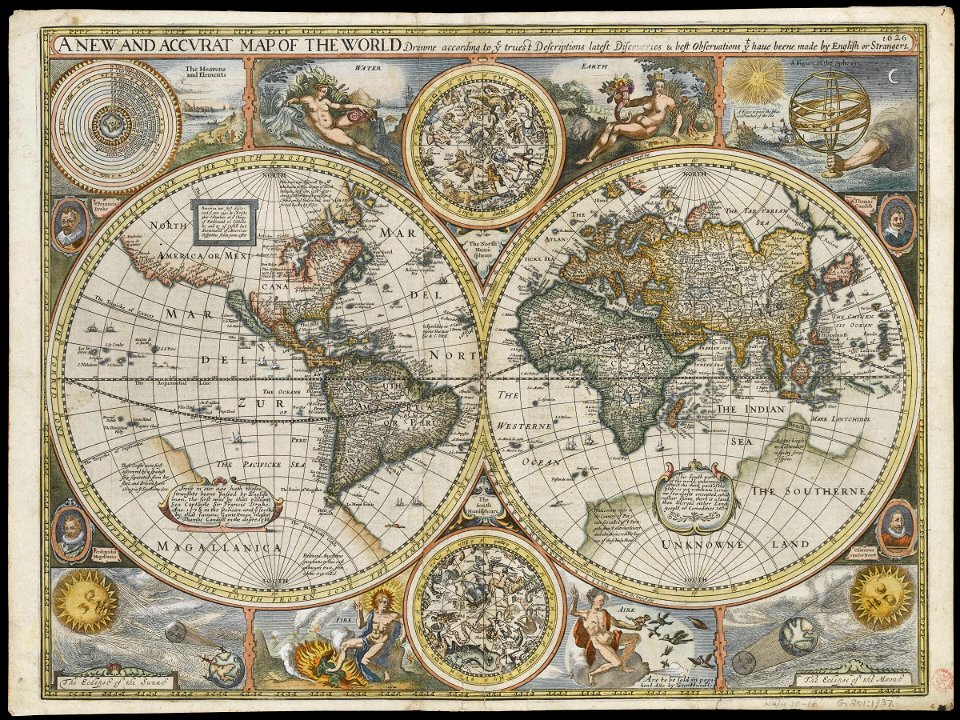
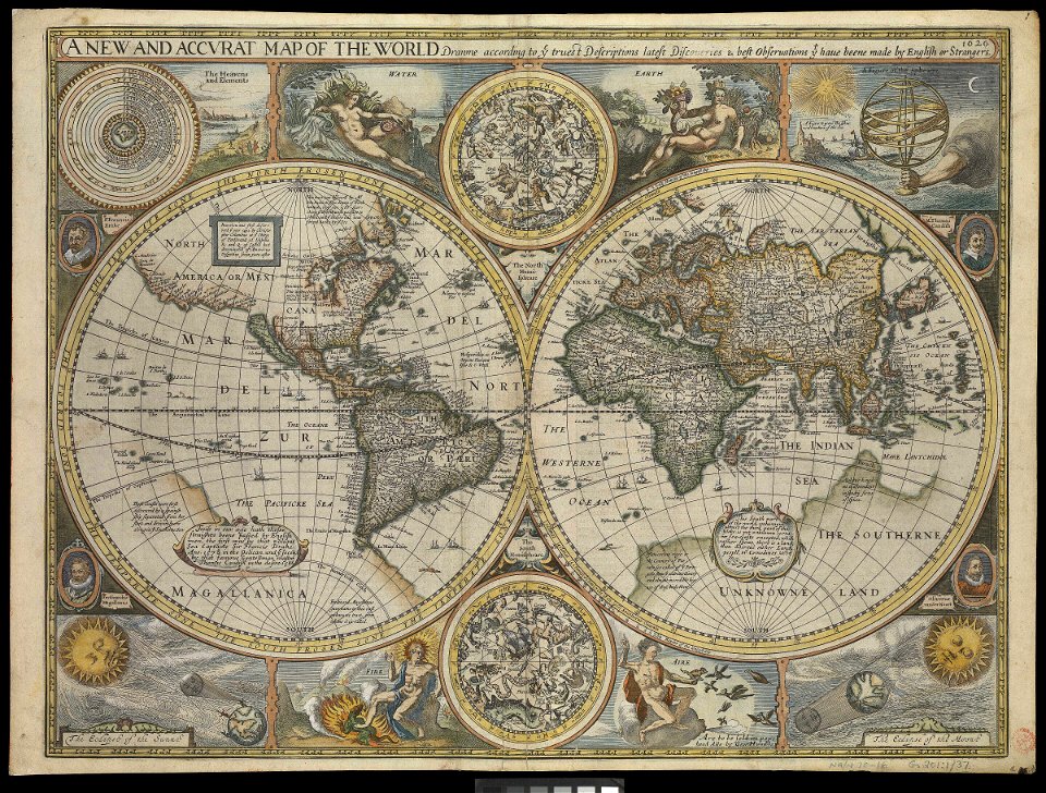
1626 maps
vintage
maps
maps of world war i by the daily telegraph
maps of world war i by the daily telegraph
maps of world war i by the daily telegraph
maps of world war i by the daily telegraph
old maps of the dutch east india company
1786
old maps of frisland
maps by coronelli
charts and maps of the royal museums greenwich
1626 maps
charts and maps of the royal museums greenwich
1626 maps
australia
maps
maps of world war i by the daily telegraph
201 - 300 of 4,032
Next page
/ 41


![Map of France, Spain, and Portugal; Switzerland in cantons [inset]; Island of Corsica (1863) by Samuel Augustus Mitchell.](https://cdn.creazilla.com/illustrations/1953186/map-of-france-spain-and-portugal-switzerland-in-cantons-inset-island-of-corsica--md.jpeg)


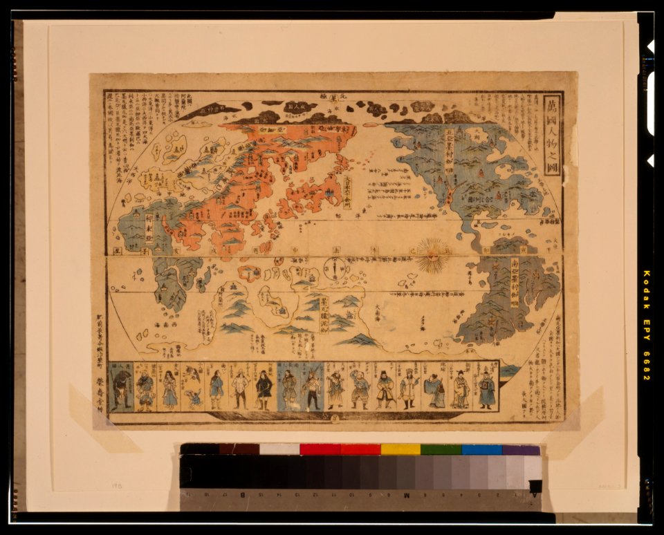
![Bankoku Jinbutsu no Dzu [Picture of the World and its People] (1825) by Imakajiyamachi Eijudo.](https://cdn.creazilla.com/illustrations/1953419/bankoku-jinbutsu-no-dzu-picture-of-the-world-and-its-people-1825-by-imakajiyamac-md.jpeg)